
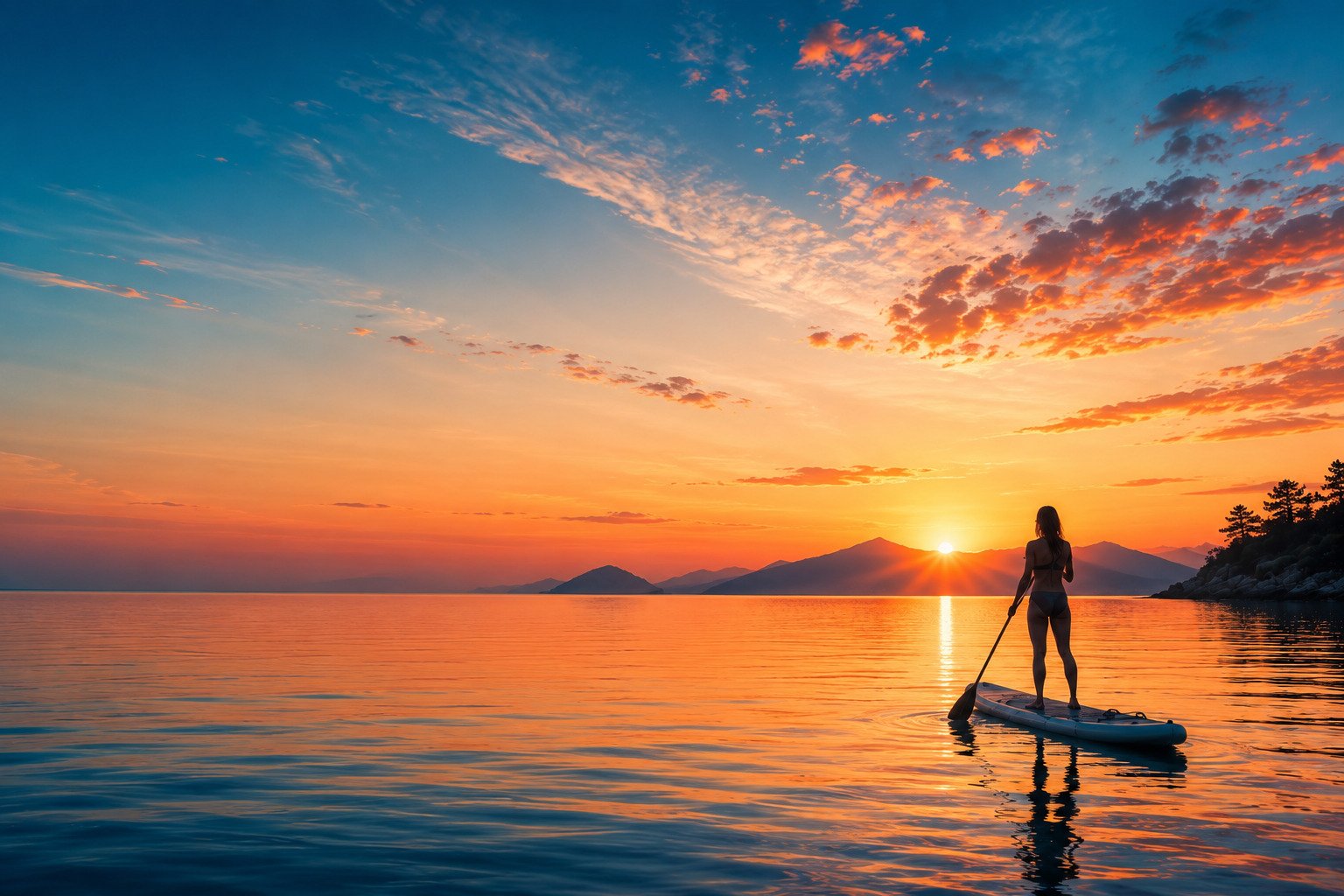
The Turkish coast,one bay at a time
Route guides, wind windows, and gear that holds up.
Written on the water — not at a desk.
Where should I send you?
A paddling log, not a catalogue
I paddle the Aegean and Mediterranean coast of Turkey and write down what I learn, because the information I needed did not exist in English.
Where to launch. What hour the wind arrives. Which bay stays flat when the one around the headland has already turned unusable. Guidebooks cover the beaches here in detail; almost none of them cover the water. A beach that photographs beautifully at midday can be the worst possible place to put a board in, and nothing on the sand tells you that.
So everything on this site comes from somewhere I have actually been, on a board, at a specific hour of a specific day. The route guides list real launch points, real distances and the conditions I met. The gear reviews cover equipment I use in salt water, which is a harsher test than a lake — salt finds every weak seam, fin box and pump valve eventually. Where I have not been yet, I say so rather than filling the gap with a paraphrase of someone else’s blog post.
I hold a lifeguard certification and I am completing the full SUP guide qualification. When that is finished, Aqua Trail will run guided routes along this coast — the same bays documented here, at the hours that actually work.
Paddled, not researched
Every route entry is a session I logged myself, with the date, the distance and the launch point as I found it — not a summary of listings.
Salt water, not lakes
Gear is judged in Mediterranean conditions: sun, salt, sand in the fin box, and afternoon chop on the way back to shore.
Local timing
Wind hours, water temperature by month and crowd patterns are specific to this coastline, and they are the difference between a good session and a hard one.
Every pin on this map, I’ve paddled
Conditions, launch points, and what the water actually does there — one entry per bay. Tap a pin to highlight its entry.
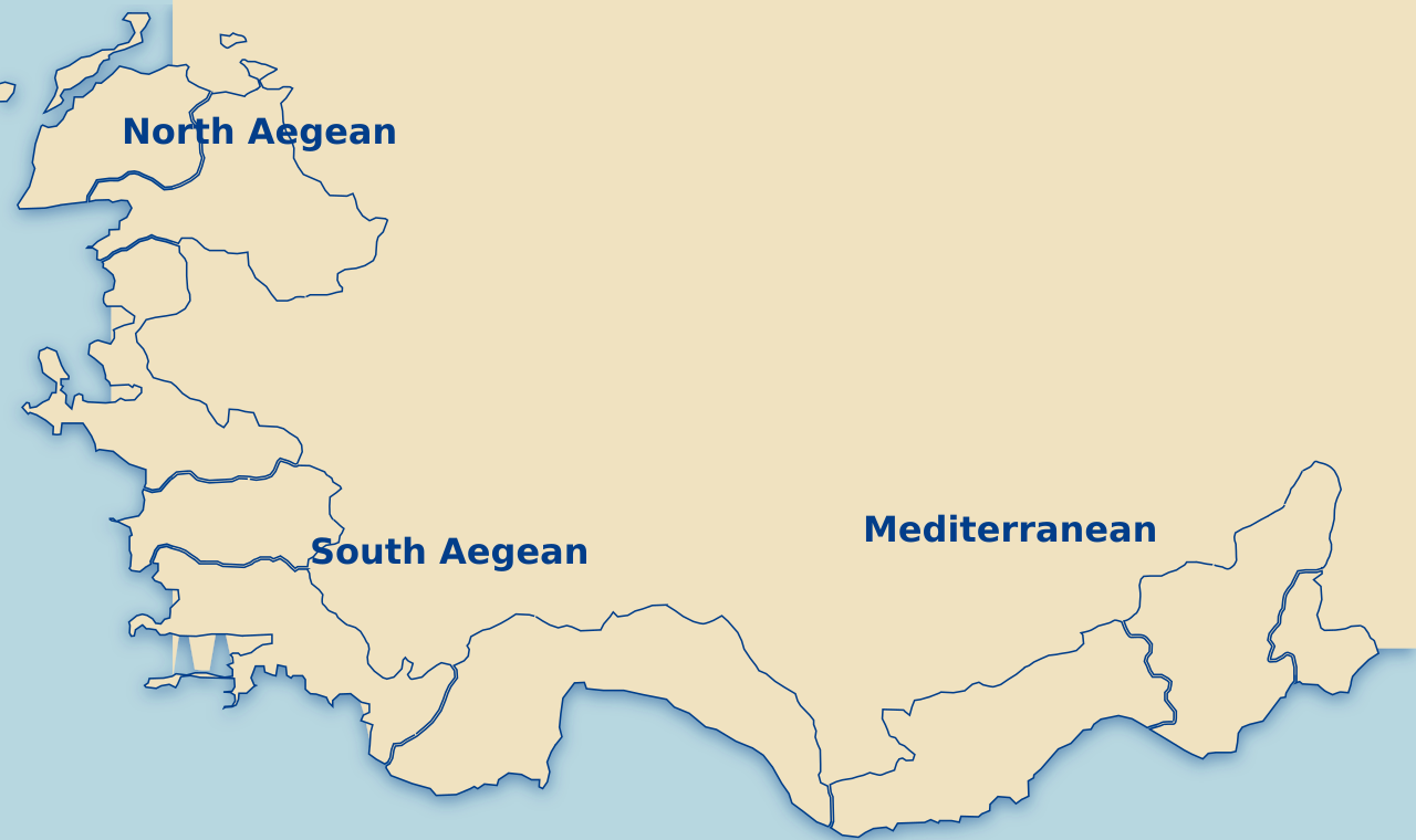
Ortunç Beach, Cunda
2.4 km · sheltered, shallow
Launch: free access, north side
Ayvalık shipwreck
4.1 km · open crossing
Launch: Delikli Taş road end
Bencik Koyu, Datça
3.0 km · flat, no facilities
Launch: dirt track, carry down
Soli Pompeiopolis
3.2 km · flat, glassy
Launch: public beach, free
Four entries so far, all on the Aegean and eastern Mediterranean. The map grows as the log does — each new pin is a bay I have paddled and written up, not a place I intend to visit.
The wind here runs on a schedule
Thermal wind builds off the land as the coast heats up, and through most of the summer it holds to within about an hour. That is the whole reason every route I plan launches before seven — not discipline, arithmetic.
The practical consequence catches almost every visitor out. You paddle out at eleven on flat water, spend an hour exploring, and turn around into a headwind that was not there when you left. On a board you sit high and catch every gust, so a wind that a swimmer barely notices can turn a twenty-minute return into an hour of hard work. Plan the return leg, not the outbound one.
Two habits solve it. Paddle into the wind first and let it push you home, and stay close enough to the shoreline that you always have an exit. And check a marine forecast rather than a general weather app — the general app tells you it is sunny, which you can already see.
When to paddle this coast
Water temperature, wind pattern and how busy it gets, month by month, for the Aegean and eastern Mediterranean.
| Month | Water | Wind pattern | What it is like |
|---|---|---|---|
| May | 20–22°C | Light, variable | Cool mornings, empty water. A thin wetsuit top is comfortable rather than necessary. |
| June | 23–25°C | Builds around 13:00 | The best all-round month. Long mornings, warm water, bays still quiet. |
| July | 26–28°C | Strong afternoons | Dawn sessions only. By noon the heat is the limiting factor, not the wind. |
| August | 27–28°C | Strongest of the year | Busiest month on the water and on the road. Launch before seven or not at all. |
| September | 25–26°C | Easing through the month | The quietest good month. Water still warm, crowds gone, wind softer. |
| October | 22–24°C | Calm spells, occasional fronts | Warm water and empty bays, but weather windows get shorter. Check forecasts properly. |
Figures are typical ranges for the Aegean and eastern Mediterranean coast, not guarantees — a sheltered bay in Datça and an exposed stretch near Ayvalık can differ by several degrees and a whole wind category on the same day.
What size board do I need?
Volume keeps you afloat, width keeps you upright. Length matters far less than either, which is the opposite of what most first-time buyers assume.
Volume around body weight plus 30%, and width you will not regret on day one. Anything narrower punishes you for the first three sessions.
Add roughly 15 litres if you paddle with a dog, a child on the nose, or a loaded dry bag — and remember an inflatable only delivers its rated stiffness at full pressure, so a board at 10 PSI behaves like a much smaller one.
Recent guides from the water
The newest route guides and gear write-ups, most recent first.
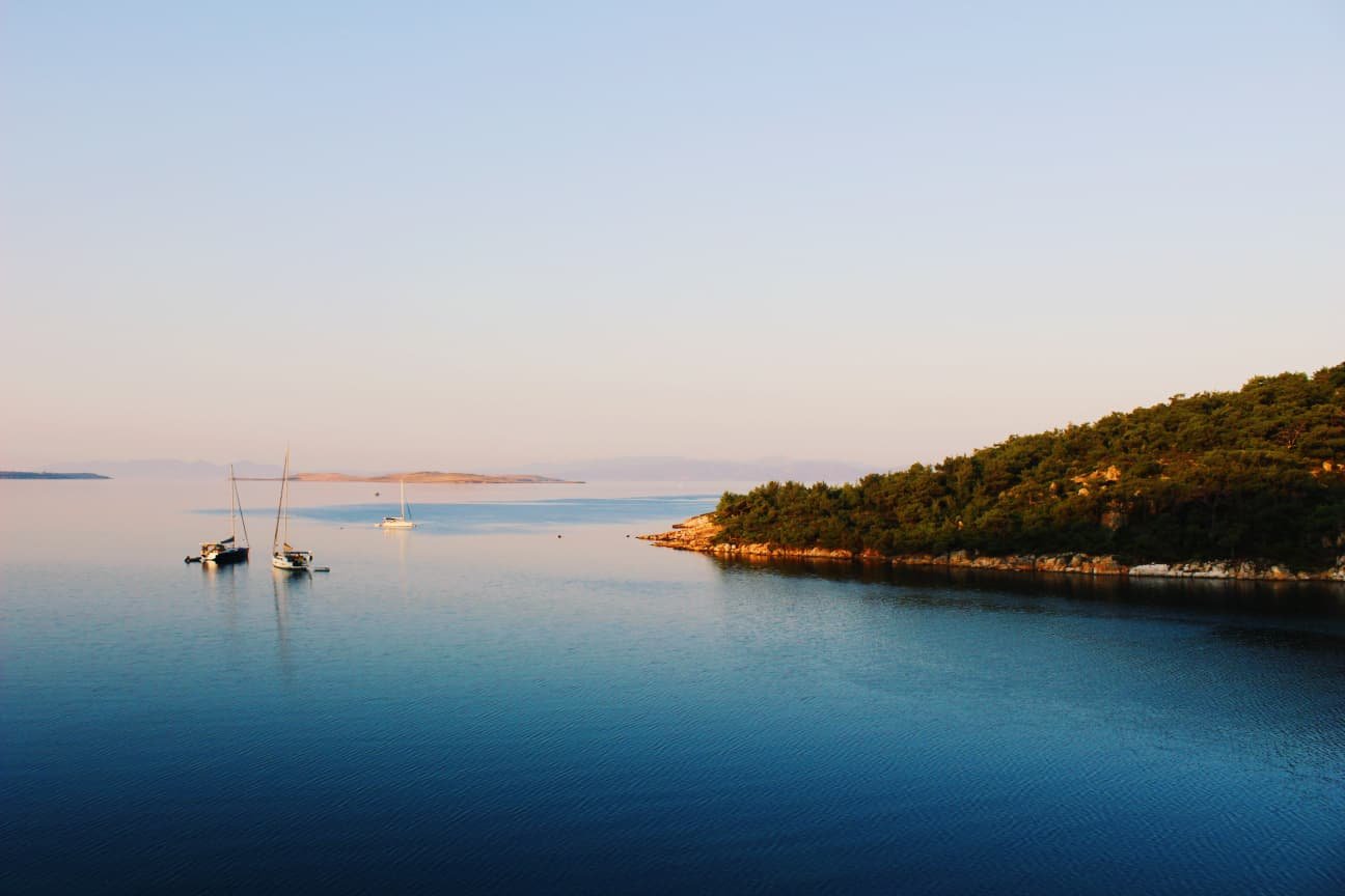
Ortunç Beach: the free entrance most visitors miss
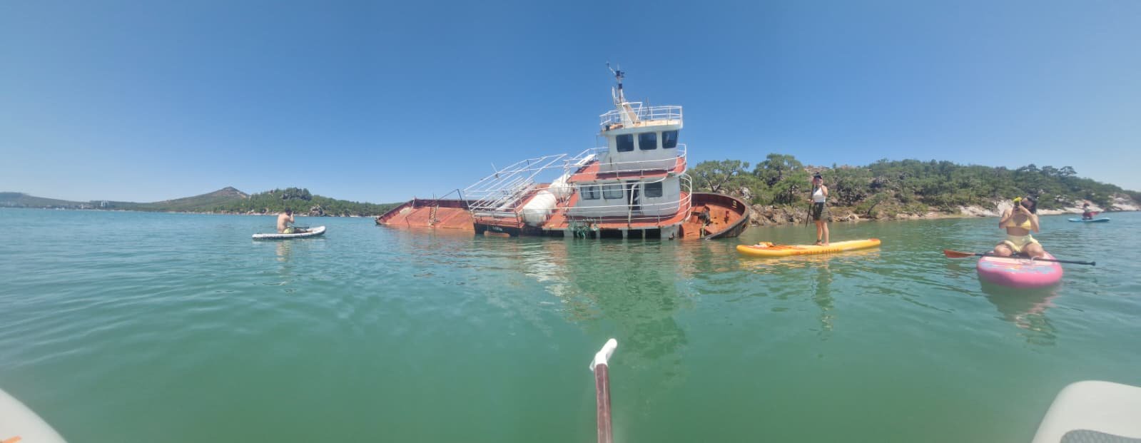
The shipwreck route to Delikli Taş
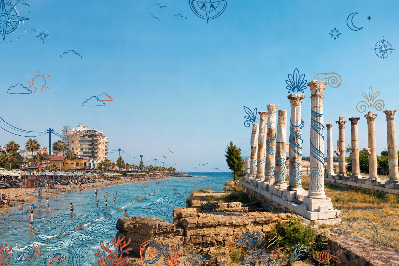
Paddling beside a 2,000-year-old Roman harbour
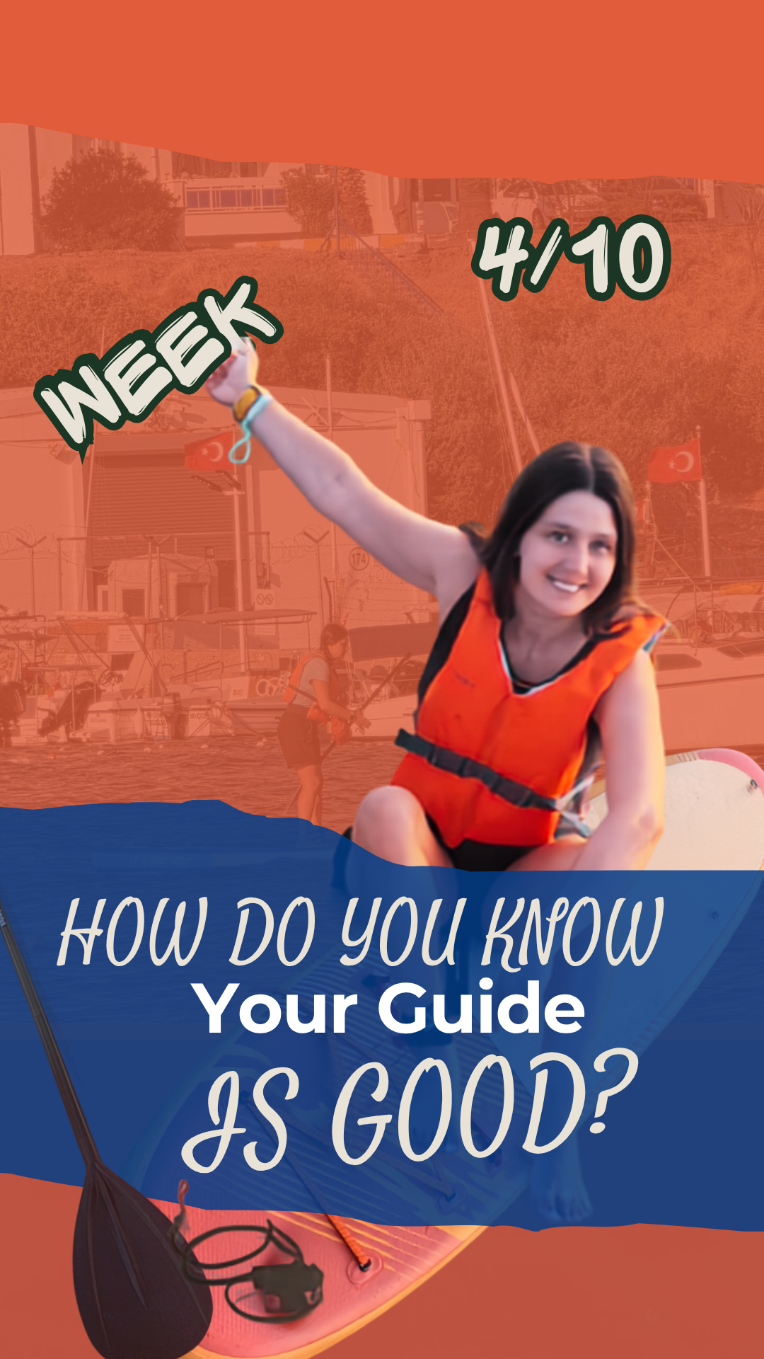
Week 4 of 10 — completing the SUP guide certification
Common questions about SUP on the Turkish coast
Is the Turkish coast good for beginner SUP?
Yes, and specifically because of the shape of it. The Aegean coastline is deeply indented, so there is a sheltered bay within a few minutes of almost any launch point. Combined with warm water from May to October and reliably glassy mornings, it is one of the more forgiving places in Europe to learn. The catch is timing rather than skill — the same bay that is ideal at seven can be unpleasant at three.
When is the wind lowest on the Aegean?
Between roughly 06:00 and 10:00. Thermal wind builds as the land heats up and usually arrives around 13:00, holding until early evening. Late evening can calm down again, but the light goes quickly and paddling back in the dark is a different kind of problem.
What months can you paddle in Turkey?
May to October comfortably, with June and September the sweet spots — warm water, manageable wind and far fewer people than July and August. April and November are possible in sheltered bays with appropriate clothing, but weather windows get short and less predictable.
Do I need to bring my own board?
Not for a guided route. For independent paddling, rental is patchy outside the main resort towns and quality varies a lot, so an inflatable you can pack into a car is the practical answer if you want to reach the quieter bays. Most of the locations in the route log have no rental at all.
Is stand up paddleboarding hard to learn?
Standing up takes most people a single session on flat water. What takes longer is paddling in a straight line, reading wind, and judging whether conditions are getting better or worse — and that last one is the skill that actually keeps you safe. Expect to be upright and moving on day one, and competent in real conditions after a handful of sessions.
Do I need a leash and a life jacket?
Yes to both, and the leash is not optional in open water. Your board is the largest flotation device you have; if the wind separates you from it, the board travels faster than you can swim. Most incidents happen in conditions that looked calm from the beach.
Can you paddle to the ruins at Soli Pompeiopolis?
Yes — the submerged columns sit roughly 40 metres offshore near Mersin and the water there is shallow and usually flat first thing in the morning. Launch from the public beach, go before eight, and keep clear of any boat traffic in the channel. The full route is written up in the log.